London ULEZ Zone Map Checker
Use our free London ULEZ Map and ULEZ Zone Map Checker to see whether a postcode, address or your current location is inside the Ultra Low Emission Zone. The interactive ULEZ map helps drivers quickly check London's charging boundary before travelling.
Our interactive London ULEZ map displays the latest Ultra Low Emission Zone boundary. Use the ULEZ check map to search postcodes, streets and landmarks before driving. Simply search for any location to see whether it falls inside or outside the ULEZ charging area.
📍 Location Result
Recent Searches
Unlike a static image, our ULEZ Map lets you search addresses instantly. The London ULEZ Zone Map updates the displayed boundary so drivers can quickly verify whether a destination is inside the charging area.
What Is The London ULEZ Map?
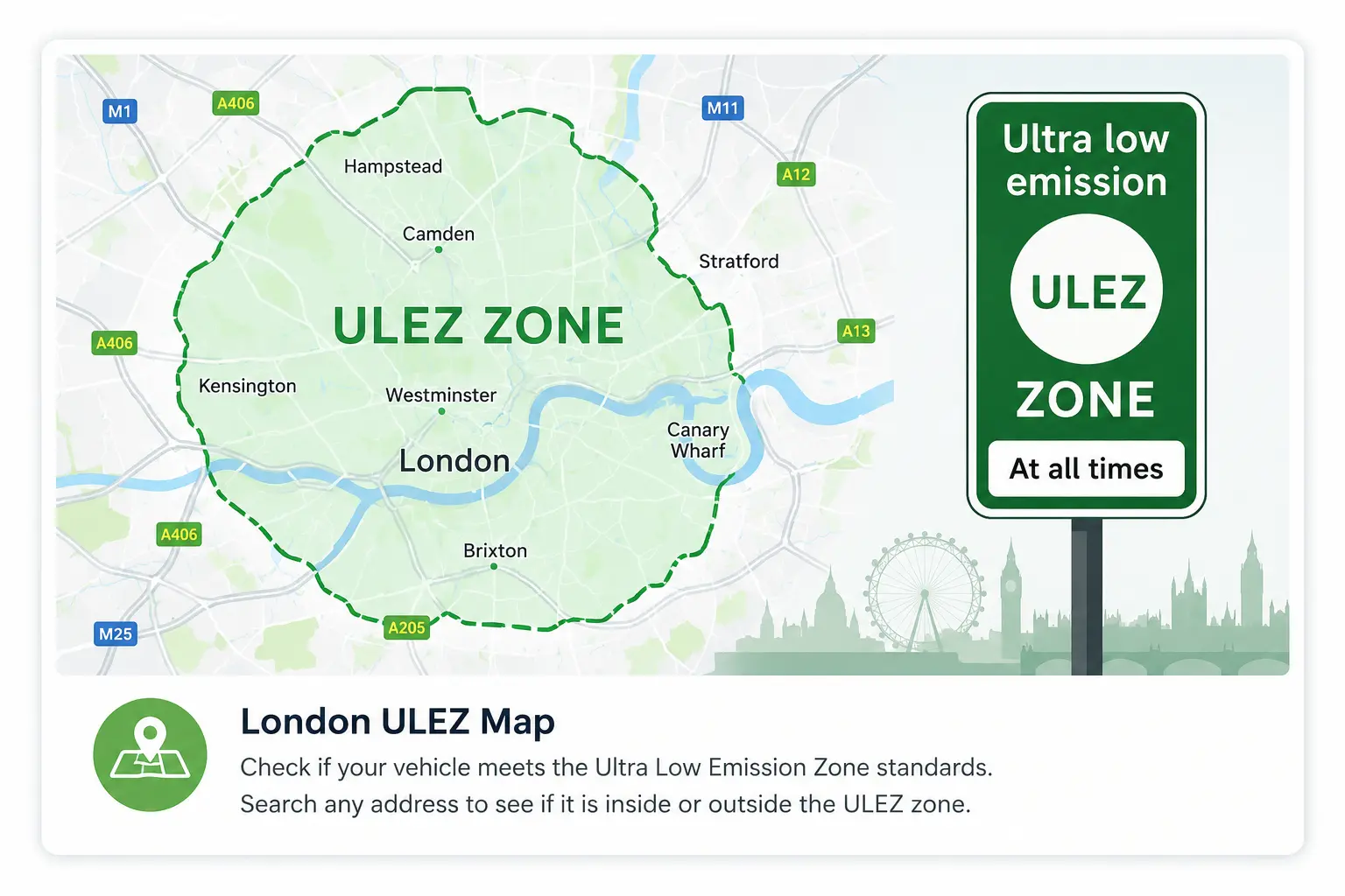
The London ULEZ map shows the boundary of the Ultra Low Emission Zone and helps drivers identify areas where ULEZ emissions standards apply.
Our interactive London ULEZ map checker allows users to search a postcode, street, landmark or current location and find out whether the selected area is inside or outside the ULEZ zone.
The tool provides a simple way to explore ULEZ coverage before travelling through London and understand where emissions requirements may affect your journey.
How To Use This ULEZ Zone Map
- Enter a London postcode or location into the search box to check the area.
- Use the location button to check your current position on the ULEZ map.
- Explore the interactive boundary map to understand ULEZ coverage areas.
- Check your vehicle separately to confirm whether ULEZ charges may apply.
London ULEZ Map Areas
The London Ultra Low Emission Zone covers a large area across Greater London. The zone expanded in 2023 and now operates across all London boroughs.
Use this London ULEZ map checker to understand affected areas, plan journeys and check whether your destination or route may enter the Ultra Low Emission Zone.
ULEZ boundaries and transport policies can change over time, so always confirm the latest information with Transport for London before travelling.
London ULEZ Map and Camera Locations
The ULEZ boundary map shows the area where emissions standards apply. ULEZ cameras are installed within the zone to read vehicle registration numbers and support enforcement.
If you want to explore known camera positions, visit our dedicated camera database:
ULEZ Camera Locations MapCheck Your Vehicle Before Travelling
The ULEZ map shows where the zone applies, but whether you need to pay depends on your vehicle's emissions standards.
Use our free ULEZ vehicle checker to find out whether your vehicle meets current requirements before driving in London.
Check Vehicle Compliance →ULEZ Postcode Checker
Want to check a specific postcode? Use our dedicated ULEZ postcode checker to quickly find whether an address is inside or outside London's Ultra Low Emission Zone.
Check ULEZ PostcodeFrequently Asked Questions About ULEZ Maps
What is a ULEZ Zone Map?
A ULEZ map shows the boundary of the Ultra Low Emission Zone and helps drivers identify areas where ULEZ emissions standards apply in London.
How do I use the London ULEZ Map to check my route?
Enter your postcode into our interactive London ULEZ map checker. The tool checks your location coordinates against the ULEZ boundary and shows whether the area is inside or outside the zone.
How accurate is the ULEZ map checker?
Our ULEZ map checker uses geographic boundary data and location coordinates to provide an estimate of whether a searched location falls within the Ultra Low Emission Zone. Always confirm the latest requirements with Transport for London before travelling.
Can I use a ULEZ map to check my route?
Yes. The ULEZ map can help you understand whether your planned journey passes through the Ultra Low Emission Zone. Always check vehicle compliance and current TfL guidance before travelling.
Does the ULEZ Camera Map show every camera locations?
The ULEZ boundary map shows the zone area. To explore known enforcement camera locations, use our separate ULEZ camera locations map.
Is the London ULEZ map official?
This website provides an independent ULEZ information tool to help users understand the zone boundary. For official updates, charges and vehicle requirements, always check Transport for London information.
Has the ULEZ zone changed?
Yes. The London ULEZ area expanded in 2023 to cover all London boroughs. Current requirements should always be confirmed before travelling.
ULEZ Map Data Source
This interactive ULEZ map uses geographic boundary data to identify whether a searched postcode or location falls within London's Ultra Low Emission Zone.
The map is designed as a helpful guide for drivers planning journeys around London. For official charges, vehicle requirements and policy updates, users should always refer to Transport for London.
Disclaimer and Data Information
This London ULEZ map is an independent information tool created to help users understand the general location of the Ultra Low Emission Zone boundary.
While we aim to keep the information accurate and updated, ULEZ boundaries, regulations and transport policies may change over time.
This website is not affiliated with Transport for London (TfL). For official ULEZ charges, vehicle compliance requirements and the latest updates, please refer to Transport for London.
The map should be used as a helpful guide when planning journeys and not as a replacement for official TfL information.
Explore More ULEZ Tools
Use our free ULEZ tools to check vehicle compliance, explore camera locations and understand London emission requirements before travelling.
Plan Your London Journey With Confidence
Use the London ULEZ map to understand affected areas before travelling. Check your vehicle compliance and confirm the latest ULEZ requirements before entering the zone.
Check Your Vehicle Now →